

Aerial Photography & Video

Three views. Three questions answered.
For standard real estate listings, I include images from three altitudes to provide different information.
Low hero shots: The home itself, shown at its best from the angles that make buyers stop scrolling.
Medium altitude: The whole property, showing the lot and
how the home and outbuildings sit on it.High, wide shots: The surrounding area, so buyers can see the neighborhood, the access, and the landscape in context.
Together, they say: this is what's on the property, and this is where the property is located.

Vacant Land and Building Lots
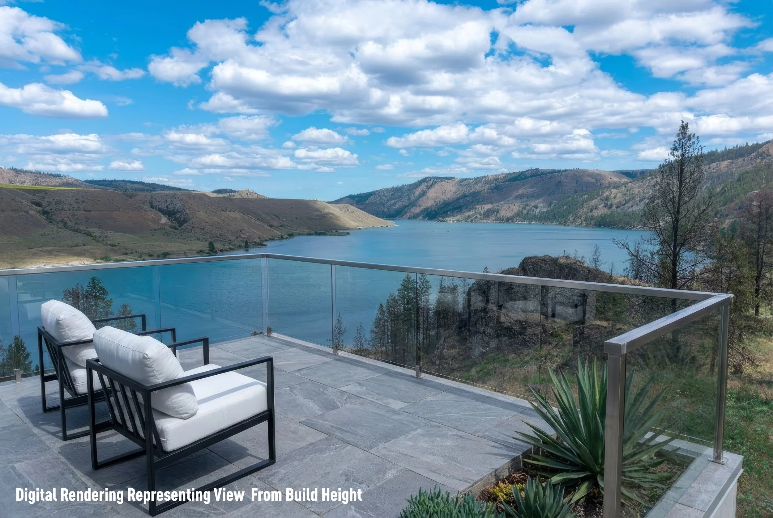
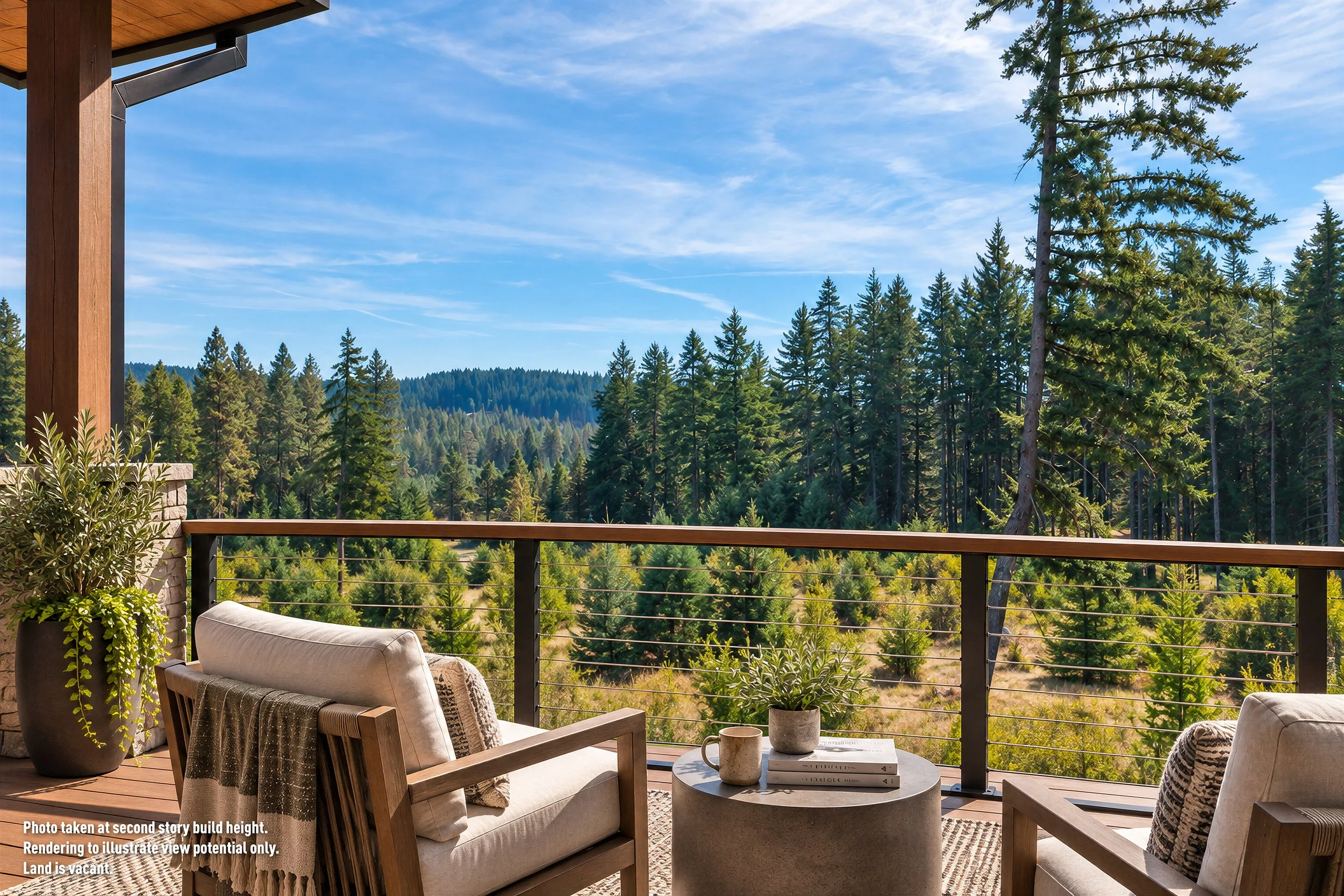
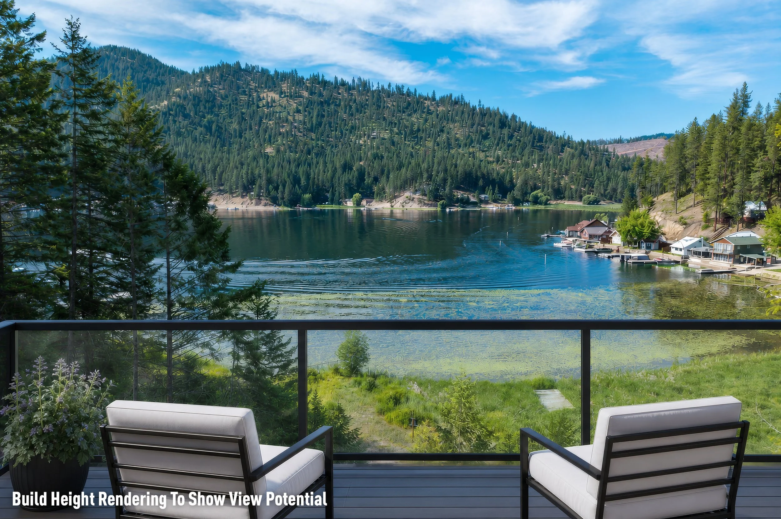
For potential build sites, buyers have to imagine what isn't there yet. I photograph from second- or third-story build heights to show the view potential a future home could have, so buyers can judge the lot on what they'd actually see from it. I also offer build-height renders to further help buyers visualize the potential.
Mapping
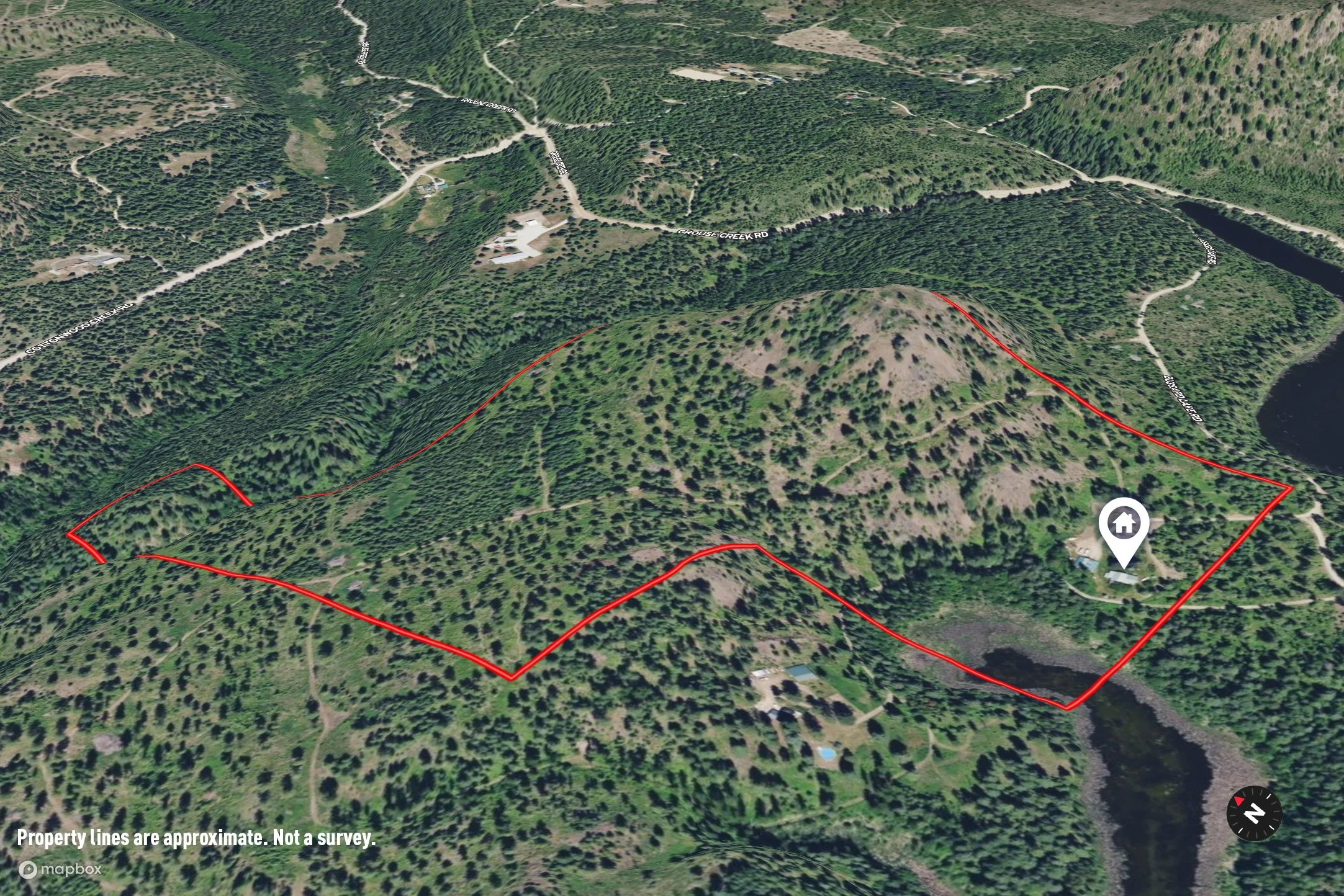
Large properties, complex airspace, and steep or complex lots may need more than drone photos or video can offer. When a drone can't capture a property well, I provide high-resolution map imagery at no extra charge. For listings that call for more, I also offer interactive 3D mapping tours as an add-on, with feature callouts and photo pins that let buyers explore the property on their own. [See an example map.]
Let the imagery sell the emotion. Let the mapping provide the information.
You’re in good hands.
I don’t like taking risks, especially with your seller’s property. My entire team consists of FAA Part 107 certified remote pilots. And I’m fully insured.

